Threat
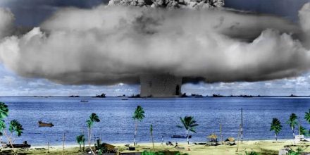
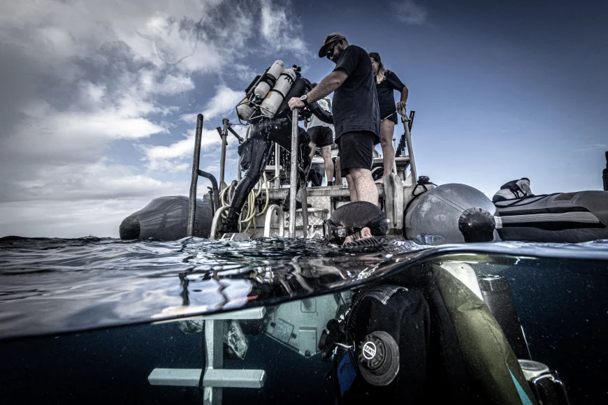
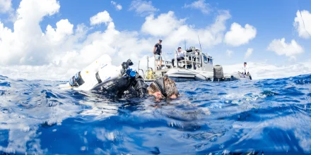
The Major Projects Foundation, in collaboration with Inkfish, SEARCH Inc. and Waves Group, conducted a groundbreaking expedition to Bikini Atoll, a UNESCO World Heritage Site, in the Republic of the Marshall Islands.
This site, famous for its WWII shipwrecks and subsequent nuclear tests, is under threat from potentially polluting wrecks. The goal of the expedition was to strengthen the Republic of the Marshall Islands’ economic resiliency by providing them with the data which will assist them in mitigating the threat of toxic marine pollution and enhancing tourism opportunities.
Objectives & Outcomes
The project focused on three main outcomes:
Enhanced Capacity for Pollution Management
The Republic of the Marshall Islands (RMI) now has greater capacity to manage the threat of toxic oil spills at Bikini Atoll. Technical information gathered by external experts has been provided to RMI authorities, enabling a more informed approach to handling these hazards.
Pathway for Oil Removal
Authorities have been provided with a detailed pathway for the safe removal of oil from the wrecks, ensuring that heritage and tourism values of the sites are maintained. The technical survey data collected forms the foundation of a remediation action plan.
Improved Sustainable Tourism Management
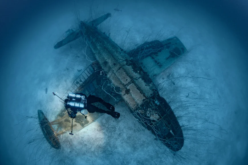
The expedition’s findings, including high-resolution maps and 3D models, enhance the RMI’s ability to manage and promote sustainable tourism at Bikini Atoll. The data collected, which includes the discovery of five previously unknown plane wrecks and two landing craft wrecks, supports the promotion of the site as a unique and educational tourist destination.
Key Expedition Activities
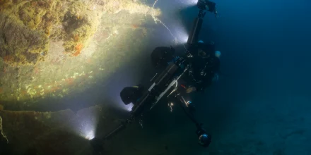
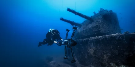
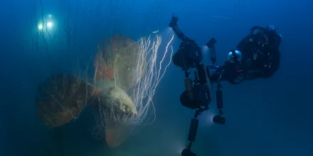
Comprehensive mapping of 12 target wrecks was achieved using high-resolution multibeam sonar and photogrammetry. This effort provided detailed structural assessments and helped identify potential pollution threats.
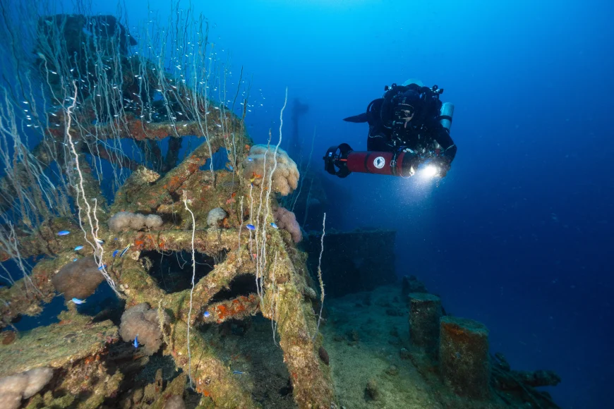
ROVs equipped with high-definition cameras conducted extensive surveys, covering over 100,000 square meters of wrecks, reefs, and newly identified targets.
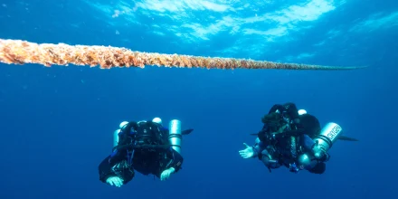
Technical divers performed photogrammetry surveys, capturing over 1.17 million images to create detailed 3D models of the wrecks. This data was crucial for assessing the structural integrity and pollution potential of the sites.
Divers identified and collected oil samples from active leaks on several wrecks, including the USS Arkansas, USS Saratoga, and Nagato. These samples are being analysed to determine their chemical properties and pollution potential.

Future Directions
The expedition laid the groundwork for ongoing efforts to manage and mitigate pollution risks at Bikini Atoll. Future projects will focus on:
- Integrating multibeam and photogrammetry data within a 3D GIS system for detailed analysis and stakeholder distribution.
- Developing and implementing an oil removal action plan, based on the survey results.
- Promoting sustainable tourism through the use of high-resolution imagery and 3D models, enhancing educational and interpretive materials for visitors.
Related articles